Carte réduite d'une partie de l'Ocean Atlantique.
BELLIN, Jacques-Nicolas.
- Published: 1775 , Présentée A Mgr. Le Comte de Maurepas Par le Sr Grognard Pilote entretenu au Departement de Toulon.
Offered by Peter Harrington

Peter Harrington
100 Fulham Road
Chelsea
London
SW3 6HS
Email: mail@peterharrington.co.uk
Phone: +020 7591 0220
Website: www.peterharrington.co.uk
Store Hours
Mon-Sat 10.00-6.00

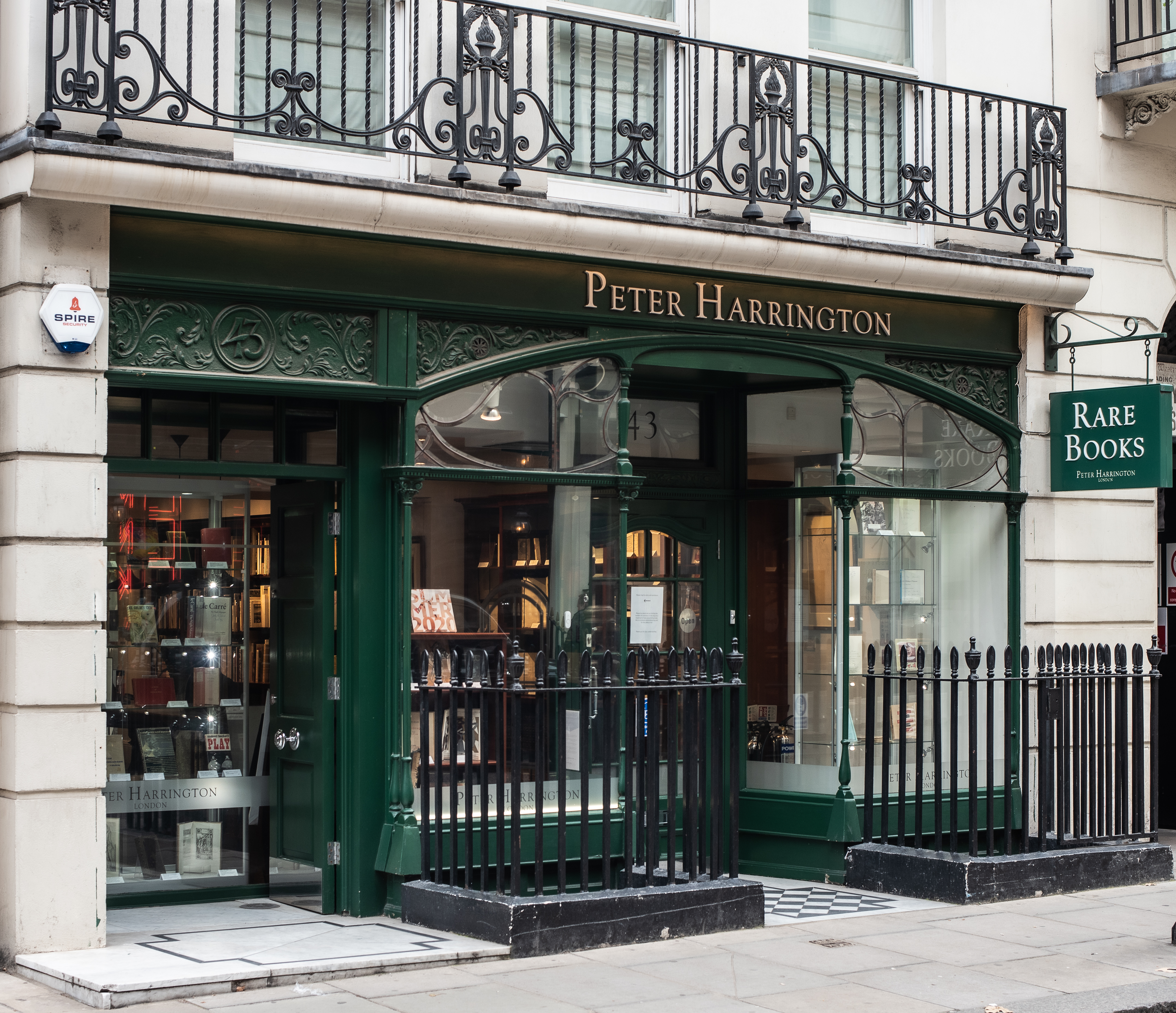
Peter Harrington is one of the most respected and dynamic names in the world of rare books, with permanent galleries in London and New York.
From its beginnings in London in 1969, the firm has built an international reputation for sourcing and selling the finest first editions, signed and inscribed books, rare manuscripts, fine bindings, and library sets. Over more than fifty years, Peter Harrington has handled thousands of significant works, from incunabula, early illuminated manuscripts, and Shakespeare folios to landmark works of science, literature, political thought, travel, philosophy, and the arts.
As a member of the Antiquarian Booksellers' Association, Peter Harrington offers an unconditional guarantee on the authenticity and completeness of each item it sells,
Terms of Sale for Peter Harrington
All major credit cards are accepted. Both UK pounds and US dollars (exchange rate to be agreed) accepted. Books may be returned within 14 days of receipt for any reason, please notify first of returned goods.


