London: For the Author,, 1817-18. No other work embraces so great a scope
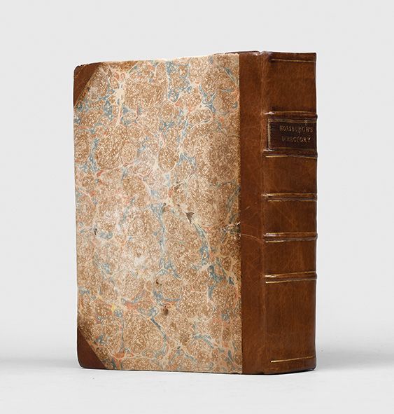
all that is necessary is contained in the one book Second edition, first published in 1809-11 as Directions for Sailing to and from the East Indies, first edition of the Supplement. This important publication was to become the standard manual for eastern navigation. Intended for use at sea, all editions of the Directory are uncommon; of this second, only three copies have appeared at auction in the last 70 years. The preface notes that "elaborate directions for the navigation of the Red Sea, by Captains Moresby and Elwon, of the Indian Navy, latterly published by the Honourable East India Company, have... been transferred to this work verbatim; and much additional information on the coast of Arabia, the Persian Gulf, the River Indus, and the Maldiva [sic] Islands, has been added... as well as several contributions to the hydrography of the West and North-west Coasts of Australia, and of Bass's Straits, by Captain Wickham, of HMS Beagle". Interestingly, Mecca is mentioned in the chapter "Directions for sailing from Mocha [Mokha] to Juddah [Jeddah]. Description of Dangers in the Passage": "[Jeddah] is a port of considerable trade, arising from the multitude of pilgrims which come from various Mahometan countries, to visit Mahomed's Tomb at Mecca, distant about 21 miles inland" (p. 220). Also described, are the Greater and Lesser Tunbs islands close to the Strait of Hormuz, a valuable geographical location for controlling trade in the Arabian Gulf. This is shortly before 1835 when the Bani Yas attacked a British ship off Greater Tunb, igniting a long series of conflicts over the islands. They are now administered by Iran as part of its Hormozgan Province and claimed by the United Arab Emirates as a territory of the Emirate of Ras al-Khaimah. The single-leaf appendix titled "Discoveries in the Gulf of Persia" mentions "Boothabeen" (Abu Dhabi), "D" (Dubai), "Sharga" (Sharjah) and other areas in the United Arab Emirates. James Horsburgh (1762-1836) went to sea at 16 as an apprentice with a Fife company in the North Sea coal trade. He subsequently settled in India, obtaining work first as a rigger in the Calcutta shipyards, and then on locally based merchant ships. In 1786 he was first mate on the Atlas in the Bay of Bengal "when, returning from Batavia and Bencoolen to Ceylon, the ship was wrecked on Diego Garcia. Fortunately, the crew of the Atlas found there the ships of the Bombay expedition of 1786... sent to investigate the viability of establishing a settlement, and Horsburgh returned to Bombay in the Admiral Hughes after spending only three days on the island" (ODNB). It has been suggested that this incident was key in resolving Horsburgh to compile and collate as much accurate navigational information on the region as he could: "After his shipwreck on Diego Garcia, and particularly during his time as commander of the Anna, Horsburgh developed his interest in scientific observation and charting. As an interested commander of a country ship regularly crossing between India and China, Horsburgh was best placed to collect information and observations bearing on the navigation of the eastern seas and to compile charts of and sailing directions for those waters... Without extensive wealth to remit to Europe on retirement, Horsburgh planned to capitalize on his experience by publishing privately in London a series of charts of the China Sea, Malacca Strait, and Bombay Harbour... Horsburgh's efforts between 1806 and 1811 were devoted to compiling comprehensive sailing directions for the East Indies navigation, the first edition of which appeared as Directions for Sailing to and from the East Indies... He continued privately to revise and republish his sailing directions, subsequently known as the East India Directory, in editions of 1816-17, 1826-7, and 1836" (ibid.). Horsburgh subsequently became a hydrographer to the East India Company. In 1836, when news of his death reached Canton "a subscription was opened for a memorial to Horsburgh, which resulted in the construction of the Horsburgh lighthouse on the rock of Pedro Branca in the eastern entrance to the Strait of Singapore, for the safety of shipping arriving from China. An equally lasting memorial was the perpetuation of his East India Directory by the admiralty hydrographic office which produced the fifth, sixth, seventh, and eighth editions in 1841, 1852, 1855, and 1864" (ibid.). A quite remarkable work, dating to a period of expanding America-Asia trade, before the ruinous effects of the Civil War took their toll on the American merchant marine. The Nautical Magazine for 1874, reviewing the latest iteration of Horsburgh's Directory, was level-headed but heartfelt in its praise: "that the 'India Directory'... through its eight editions, became a 'great book,' is an undoubted fact... No other work embraces so great a scope as this one, and to enable the mariner to sail over one-half the seas, for which it is a guide, he must possess himself, if he has not this book, of books sufficiently numerous to form a small library. 'The East India Directory,' although a fair-sized book, is multum in parvo, and the possession of it conduces to confidence in the mind of the mariner by the knowledge that all that is necessary is contained in the one book". Provenance: inscription on the title page: "Ship William & Henry, 1826". This is likely the American brigantine William & Henry, homeported in Salem, Mass. from December 1788 to May 1790; the brigantine sailed from Salem to Mauritius, Sumatra, Macau, and Guangzhou, China. It could also be William & Henry of Newport, RI, registered in 1806. Additionally, with 19th-century pencil notes on the front flyleaf, noting locations and dates, such as "Babelmandeb, June" [Bab-al-Mandab]. Bookplate of Edward W. Allen on the verso of the front free endpaper. Allen was an attorney, scholar, author, and a great collector of Pacific Northwest maps. Two works bound in a single vol., quarto (270 x 212 mm). Late 19th-century half calf and marbled boards, rebacked to style, spine gilt-ruled with raised bands, dark brown morocco title label, marbled endpapers. Supplement lacking pp. 51-7. Minor loss and neat repairs to corners, verso of front free endpaper and front of blank with clear archival tape repair at gutter, marginal rust stains to preliminary leaves, some damp staining and foxing throughout. A very good copy. Ferguson 481.